Map the Parts of Your Garden Birds Actually Use
A simple patch map can connect observations to cover, open ground and perches. Record use before changing the space, and avoid interpreting a quiet patch as ecologically worthless.
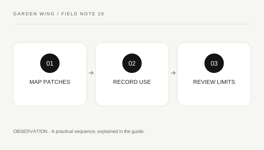
Original explanatory diagram. Numerical examples in this guide illustrate the reasoning; they are not a claim of hands-on testing.
Divide the visible garden into clear zones
Sketch the watched area and label a few stable zones: hedge, lawn, tree, fence and sheltered corner. The drawing need not be to scale. Its purpose is making location notes consistent, so “hedge A” means the same area next week.
Mark blind spots and boundaries. A dense shrub can hide birds while still providing useful cover, so low visibility should not be confused with no use. Include the viewing position on the map to show which areas can be compared directly.
Keep sensitive details private, particularly a suspected nest. You can use a broad zone label in an exported note without sharing a precise location. This is an observation exercise, not a garden-construction plan or a complete habitat assessment. A wildlife authority can provide region-specific guidance if you later consider changing vegetation or managing a protected area.
Record actions as well as presence
For each watch, note where a bird fed, perched, moved through cover or rested. A bird crossing a fence briefly and a bird repeatedly searching a lawn are different uses. Keep the action descriptive rather than assigning a motive such as “preferred this spot” from one event.
An illustrative entry might read “Blackbird candidate, lawn zone, probing ground for two minutes; moved beneath hedge.” This links a tentative identification, behavior and route without claiming that the hedge contained a nest. Another bird may use the same zone differently.
Use a manageable amount of detail. Recording every second can distract from observation and encourage following birds too closely. A few representative actions from a settled position are enough to begin understanding what the watched patch makes visible.
Compare zones with their viewing limits
A lawn often makes a bird easier to see than dense foliage. More detections on the lawn therefore do not prove it is more valuable than the hedge. Note visibility for each zone and avoid ranking habitat from raw counts alone.
Compare similar sessions and record changes such as leaf loss, pruning, construction noise or a new obstruction. If a zone disappears from view, your later records cannot be interpreted as a direct continuation of the earlier method. Mark the change on the map.
For a worked example, five visible lawn detections and one hedge detection in ten minutes do not establish a five-to-one habitat preference. The same bird may have crossed both zones, and many hedge birds may have remained hidden. Keep the counts tied to observable events rather than converting them into unsupported preference scores.
Use the map to improve observation and questions
At the end of several watches, identify one route or location needing a better description. Perhaps birds repeatedly vanish at a hedge corner, or a tree branch offers the clearest view of bill shape. You can choose a comfortable future observation angle without removing cover or altering vegetation to expose birds.
If you plan a wildlife-friendly change, use a reputable local source for suitable native planting, maintenance timing and legal considerations. Do not infer a universal planting prescription from one species appearing once. Local climate, available space and existing habitat matter.
Finish by preserving the original map with dates of later changes. This allows you to interpret the notebook honestly when the garden develops. The map's value is organizing evidence about a small watched patch, not proving that you have measured every bird, resource or ecological relationship within it.
A practical checklist
Tick items for your own use. This checklist is saved only in this browser.
Questions that come up
Does no visible bird mean a shrub is unused?
No. Dense cover reduces detection and birds may use it outside the watched period. Record the visibility limit.
Should I remove branches to improve the view?
Do not disturb cover or a possible nest for observation. Choose a suitable viewing position and seek local guidance before vegetation work.
Can this map replace a habitat survey?
No. It is a personal observation aid with limited effort and visibility. A formal assessment needs appropriate methods and expertise.
References & scope
Background references checked on 18 October 2026. The examples and practice exercises are original editorial explanations, not copied procedures or professional advice.
- Cornell Lab: All About Birds identification guide
- Cornell Lab: bird feeder cleaning
- RSPB: bird identification guide
- RSPB: current garden bird health guidance
- RSPB: current feeding advice
- Cornell Lab: American Robin
- RSPB: Robin
- RSPB: Blackbird
- American Birding Association: Code of Birding Ethics
- RSPB: bird-bath guidance
- Cornell Lab: preventing bird-window collisions
- BTO: identification resources
- RSPB: Starling
- Cornell Lab: finding a baby bird
- RSPB: injured birds and local help